
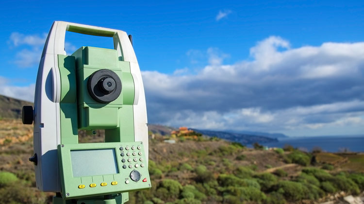
We provide full topographic charts with accurate position, boundary and plot determination. The imprinting is done using modern geodetic equipment and GPS system in the «ΕΣΓΑ ’87» coordinate system, as defined by law.
We provide full topographic charts with accurate position, boundary and plot determination. The imprinting is done using modern geodetic equipment and GPS system in the «ΕΣΓΑ ’87» coordinate system, as defined by law.